21 km | 27 km-effort
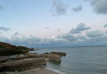
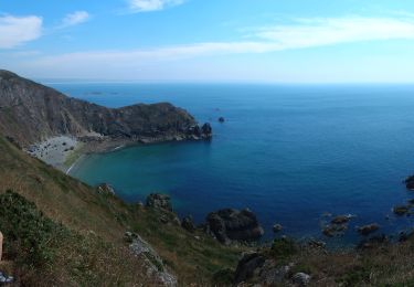
Port Racine / cap de la Hague
PascalN
User
Length
24 km
Max alt
143 m
Uphill gradient
549 m
Km-Effort
32 km
Min alt
0 m
Downhill gradient
545 m
Boucle
Yes
Creation date :
2020-08-30 09:21:43.721
Updated on :
2020-09-04 12:41:24.047
5h00
Difficulty : Difficult
FREE GPS app for hiking
About
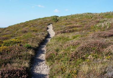
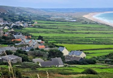
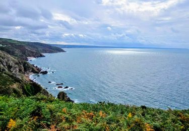
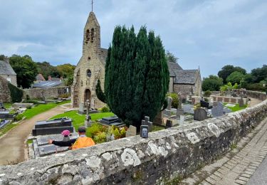
Trail Walking of 24 km to be discovered at Normandy, Manche, La Hague. This trail is proposed by PascalN.
Positioning
Country:
France
Region :
Normandy
Department/Province :
Manche
Municipality :
La Hague
Location:
Saint-Germain-des-Vaux
Start:(Dec)
Start:(UTM)
579518 ; 5507121 (30U) N.
Comments
Trails nearby
Le Tour des Echoués - Jobourg
Mountain bike
Medium
(1)
La Hague,
Normandy,
Manche,
France
26 km | 32 km-effort
2h 0min
Yes
Ecalgrain et sa baie.
Walking
Difficult
(4)
La Hague,
Normandy,
Manche,
France
13.4 km | 18.3 km-effort
3h 15min
Yes
SityTrail - 4202124 - cotentin-j3
On foot
Difficult
La Hague,
Normandy,
Manche,
France
23 km | 33 km-effort
7h 30min
No
Séjour Cotentin Etape 3 Le nez de Jobourg et Biville a corriger
Walking
Very difficult
La Hague,
Normandy,
Manche,
France
23 km | 33 km-effort
7h 31min
No
Séjour Cotentin Etape 2 Boucle Jobourg La Hague - Port Racine - Omonville la ...
On foot
Difficult
La Hague,
Normandy,
Manche,
France
28 km | 34 km-effort
7h 44min
Yes
goury / vauville
Walking
Difficult
(1)
La Hague,
Normandy,
Manche,
France
16.5 km | 24 km-effort
5h 17min
No
Magiquement votre
Walking
Medium
La Hague,
Normandy,
Manche,
France
25 km | 33 km-effort
6h 12min
Yes
Boucle St-Germain-des-Vaux - Auderville - La Roche - Goury
Walking
Easy
La Hague,
Normandy,
Manche,
France
12.4 km | 14.7 km-effort
5h 22min
Yes